Plan: Jabal Ḥadat is a mountain range extending in E-W direction which allows by panoramic views a perfect control over the central valley of the Zarqā’ river. It expands in E-W direction and forms a flat saddle between its two peaks, the lower one (ash-Shōbāsīye) in the E and the higher one of the maqām Nebi Ḥadat in the NNW. The maqām is a complex of various very old sanctuaries (fig. 150.1) located on the mountains N of the present village Abū Kūshaybah at the S shore of wādī Zarqā’. It was accessible by a processional path (via sacra) of considerable width and lined by field stones starting at the perennial source of ‘Aīn Abū Kūshaybah.
This is located some 5 km S as the crow flies from the maqām in the plain. The via sacra follows the geological horizontal fracture lines until the W co-nical summit. It winds in long stretched serpentines along the geological limestone layers through the curves of the intersecting valleys. The mausoleum of Nebi Ḥadat was a rather small square building (fig. 150. 13), once with entrance door in the N wall and covered by a “primitive dome” (G. Schumacher in Steuernagel 1927) in a commanding position overlooking the Zarqā’-valley. It is surrounded by an old cemetery along its N side with some relatively new shepherd graves. The square outlines of the main building are only vaguely to determine due to the tumble of stones. To its W a structure of a rounded plan, remnants of the stone circle mentioned by G. Schumacher are still visible.
Measurements: ca. 36 m2
Exterior: ca. 6 x 6 m.
Interior: unknown.
Building Materials: light brown to yellowish white limestone with single grey flint and chert intrusions and many scattered worked flint blades; no visible traces of mortar or plastering according to surface observation during the GJU-survey on December 7th, 2019. Construction details: in their majority coarsely to semi dressed blocks; some of these stones with tool marks.
Preservation: Both the ruins of the ash-Shōbāsīye-chapel as well as the small square shrine of Nebi Ḥadat ash-Shim‘ōni had been subject of intensive looting and vandalism until recent time. All the walls of both buildings have collapsed. Therefore, their plans are difficult to understand due to the overlaying tumble.
Inscription(s): none known.
Date(s): Almonst exclusively Iron Age surface pottery (fig. 150.5) at the site on the ash-Shōbāsīye chapel (at the last E-W curve of the processional path (via sacra). The findings at the main sanctuary (fig. 150.9-16) trace back from recent times until the Bronze Age (pottery, grinding stone fragments). Significant for the Islamic mausoleum is the high amount of decorated Ayyubid-Mamluk pottery sherds (fig. 150.14).
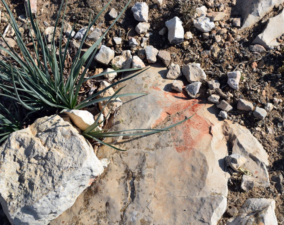
Traveler Reports: “Auf esch-schōbāsīje finden sich viele kleine Haufen von Feldsteinen, die teils alt sind, teils erst in neuerer Zeit von Beduinen aufgehäuft sind: es sind ‘Zeugnisse’ für das gegenüberliegende Welī Hadad ash-Shim‘ōni. Dieses Heiligtum steht, obwohl es in der Belkā liegt, bei den Benī Hasan, aber auch nur bei ihnen, in hohem Ansehen; der Heilige gilt als ihr besonderer Schutzheiliger. Jeder, der Herden besitzt, muß injedem Frühjahr am Weli ein Schaf oder eine Ziege schlachten, indem er ihnen auf dem Sturz über der nördlichen Eingangstür den Hals durchschneidet, um damit die Gunst des Heiligen zu erkaufen. In der unmittelbaren Umgebung ist alles voll von Blutspuren solcher Opfer. Das Weli ist ein primitives Gewölbe über dem Heiligengrab bei zwei butm-Bäumen, auf einem uralten Steinkreis von 15 m Durchmesser erbaut; dabei liegen viele Beduinengräber. Das Heiligtum wird bis in uralte Zeit zurückreichen; dafür spricht schon seine beherrschend hohe, isolierte Lage (759 m). ... Die Gegend zwischen dem Weli und dem Zerka gegen den esch esch-schōbāsīje hin wird dschufet hadat genannt” (Steuernagel 1927).
Bibliography: Steuernagel 1927, A. 379; Glueck 1939, III, 214-216 fig. 64.