Letter S
365. Ṣoffāḥa Ghatās, aṣ-, Khirbet | الصوفاحة (خربة غطاس)
Ma‘ān Governorate
Masjid or muṣallā
JADIS no. none
MEGA no. none
Coordinates: 30°27'13.5"N 35°27'47.6"E
30.453750, 35.463222
Letter S
Ma‘ān Governorate
Masjid or muṣallā
JADIS no. none
MEGA no. none
Coordinates: 30°27'13.5"N 35°27'47.6"E
30.453750, 35.463222
Plan: The possible Muslim prayer place is a small room in the SW of a larger complex possibly dating back to the Nabataean period. The room has a long rectangular plan, oriented N-S, with eventual miḥrāb in the S-wall, now entirely destroyed by treasure hunters. The Bedouin guides accompanying the GJU survey on October 12th, 2019 insisted that the structure had been used until very recent time as a muṣallā. Nothing, however, has been found on the spot to confirm this information.
Measurements: 46.8 m2
Exterior: 8.75 x ca. 7 m.
Interior: ca. 6.00 x 7.75 m.
Building Materials: local sandstone, limestone and chert.
Construction details: The possibly Nabataean exterior walls have been constructed of dressed wedge-shaped limestone blocks in horizontal courses, partly in isodomic arrangement (figs. 365.3. 5-6), dry without use of mortar. In interior of these walls display random masonry of predominantly smaller stones with earth mortar (fig. 365.4. 7), remains of plaster. The roof construction remains unclear.
Preservation: ruined, not in use for Muslim prayer. The S wall has recently been collapsed due to illegal digging by treasure hunters.
Inscription(s): none known.
Date: Early Ottoman (?), set into an older monumental, probably Nabataean-Roman building context with a Byzantine occupation phase. The surface pottery sherds collected during the GJU survey on October 12th, 2019 (fig. 365.1) included few Iron Age (A), Nabataean (B), Late-Roman (C) and Umayyad ribbed (D) wares.
Traveler Reports: none known.
Bibliography: Schick 2020 no. 114.
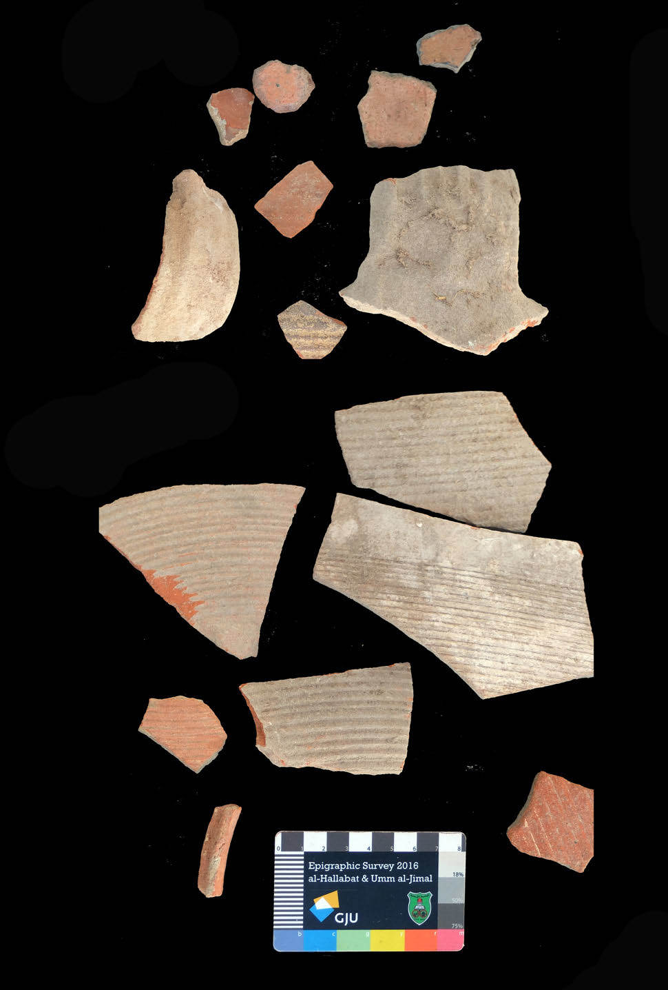

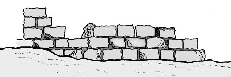


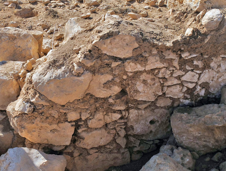
 Fig. 365.8 Panoramic view of Khirbet aṣ-Ṣoffāḥa Ghatās from S to W (TMW-K 2019).