Plan: unknown.
Measurements: unknown.
Exterior: unknown.
Interior: unknown.
Building Materials: local limestone. The mosque has been constructed of reused older building materials (according to A. Musil 1900).
Construction details: unknown.
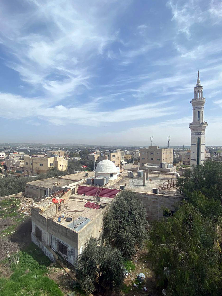
Preservation: It is reasonable to locate the old village mosque seen by A. Musil in the closer vicinity of the Muslim graveyard which still exists about 300 m N of the new mosque. The old one, however, has been demolished and it was replaced by a new building in concrete skeleton construction in H 1403 / AD 1982.
Inscription(s): none known.
Date: unknown, before 1900, the reuse of spolia was a common habit for constructing mosques and other buildings from the Umayyad to the earlier Ottoman periods.
Traveler Reports: “In der Ostrichtung, etwa 200 m weit von der Straße, liegt kfêr Abû Hînân, wo ich viele Gewölbe sowie ein altes aus Trümmern errichtetes mohammedanisches Gebetshaus sah” (A. Musil 1900, Arabia Petraea I).
Bibliography: Arabia Petraea I, 216-217.