Letter S
315. Sabata, as-, Khirbet | خربة السباتة ؟
Jerash Governorate
Jāmi‘
JADIS no. 231 8036
MEGA no. 2384
Coordinates: 32°17'33.7"N 35°51'06.9"E
32.292694, 35.851925
Letter S
Jerash Governorate
Jāmi‘
JADIS no. 231 8036
MEGA no. 2384
Coordinates: 32°17'33.7"N 35°51'06.9"E
32.292694, 35.851925
Plan: broad rectangular with entrance from the E; qibla wall in the S resting on high substructions of an older date. The miḥrāb, which was formerly in the middle of the S wall, is not clearly visible anymore due to illegal excavation.
Measurements: unknown.
Exterior: unknown.
Interior: unknown.
Building Materials: The substruction of the mosque consists of large solid cubic limestone blocks in header-and stretcher bondage of probably Hellenistic or early Roman origin, some of the blocks have been chiseled with rustication.
Construction details: in some sectors careful ancient masonry, in other irregular with unworked boulders. The construction of the roof cannot be determined.
Preservation: ruined; not in use for Muslim prayer.
Inscription(s): none known.
Date(s): according to surface pottery Umayyad, Ayyubid-Mamluk to Ottoman.
Traveler Reports: none known.
Bibliography: Steuernagel 1927, A, 398; Mittmann 1970, 100 no. 258; Khouri 2009, 127 s.v. Khirbat es-.
 Fig. 315.1 Exterior S wall substruction (TMWK 2018).
 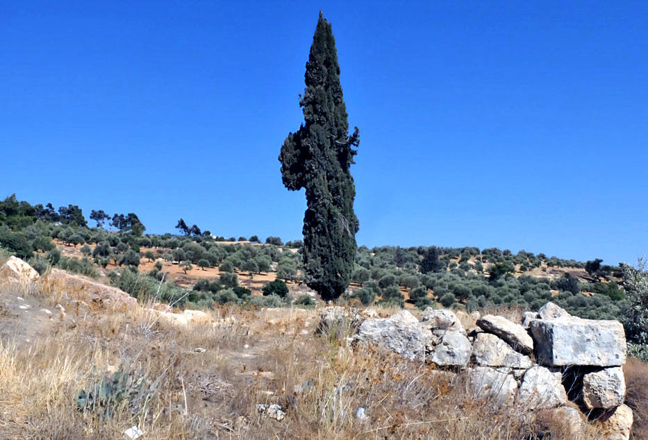 Fig. 315.2 Exterior W wall, substruction at SW corner (TMWK 2018).
  Fig. 315.3 Panoramic view from SE (TMW-K 2018).