Letter K
187. Kadādeh, al- / Qedādi, al-, Khirbet, Wādī Tawāḥēn | خربة الكدادة / وادي الطواحين
‘Ajlūn Governorate
Jāmi‘
JADIS no. 211 9033
MEGA no. 10423
Coordinates: 32°19'19.8"N 35°44'57.7"E
32.322170, 35.749359
Letter K
‘Ajlūn Governorate
Jāmi‘
JADIS no. 211 9033
MEGA no. 10423
Coordinates: 32°19'19.8"N 35°44'57.7"E
32.322170, 35.749359
Plan: rectangular with central door; in front of entrance a ziyādeh (podium / portico).
Measurements: ca. 45.9 m2
Exterior: 10.2 x 4.5 m.
Interior: unknown.
Building Materials: local grey marl limestone and chert of blue to brownish shade.
Construction details: fieldstone with lime mortar in the joints; miḥrāb out of cut limestone and plastered. According to MacKenzie (2002) the roof consisted of a barrel vault.
Preservation: ruined, not in use for Muslim prayer. Compared with the photo by NAt (fig. 187.1), the site of the mosque has suffered serious damage by illegal digging during the last 10 years.
Inscription(s): none known.
Date(s): Ayyubid / Mamluk (MacKenzie 2002)
Traveler Reports: “Of particular interest is a ruined mosque, 10.2 x 4.5 m. Its walls of fieldstone with lime mortar and ceramics ... suggest an Ayyubid / Mamluk date. The mosque was barrel vaulted with a central door, and it would appear that there was a ziyadeh in front of the entrance.” (MacKenzie 2002).
Bibliography: Steuernagel 1927, A. 305; Mittmann 1970, 80 no. 198; MacKenzie 2002, 617-618; Walker 2011, 153 note 111.

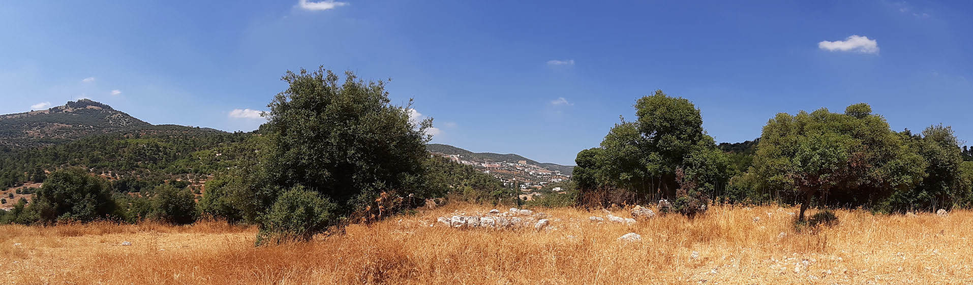 Fig. 187.2 General view of the mosque of Khirbet al Kadādeh, the traces of it appear between the oak trees in the center of the picture seen from S. In the left sector of the picture the hill of Qal’at ar Rabād ‘Ajlūn (TMW-K 2019).